
After a nice breakfast, we started around 7 am for Pangong Tso Lake which is at the height of 4225 Meters. This lake is 134 Kms long and spread over part of India and China.
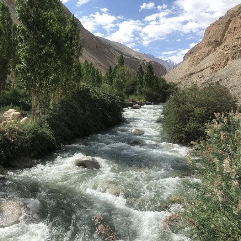
We were not sure whether we will be able to reach Pangong Lake as there were news of flood in the Shyok river due to the melting of glaciers in the region. The part of the road goes through the Shyok River. After reaching a point of making a decision on the road to take, we decided to take this route: Nubra Valley – Agham – Wari La – Shakti – Chang La – Durbuk – Tangste – Pangong Tso (Lukung) . This route requires crossing 2 passes Wari La and Chang La. This can be very challenging for the driver and also passengers but we were fortunate to get a good driver who agreed to take this route.
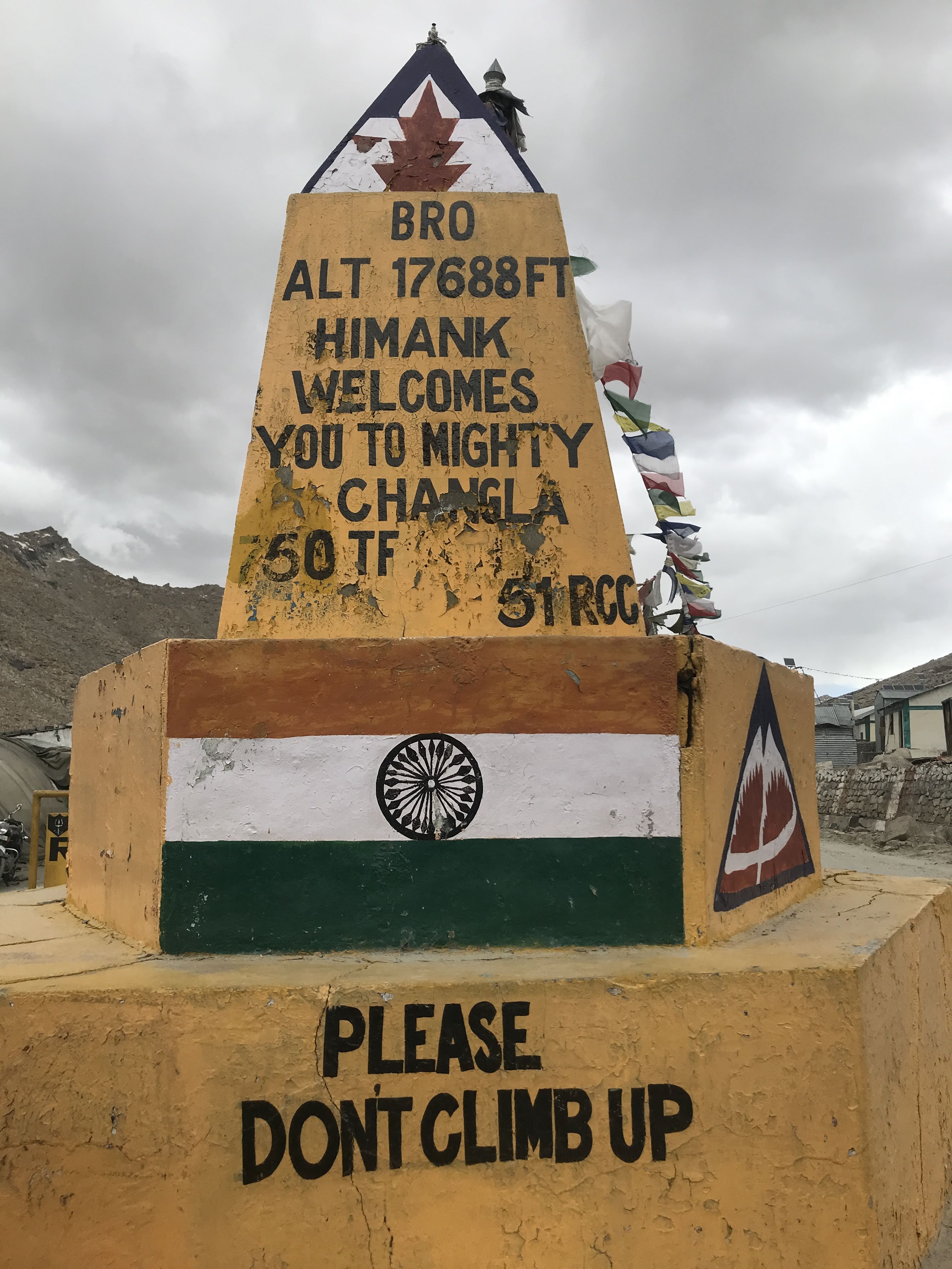
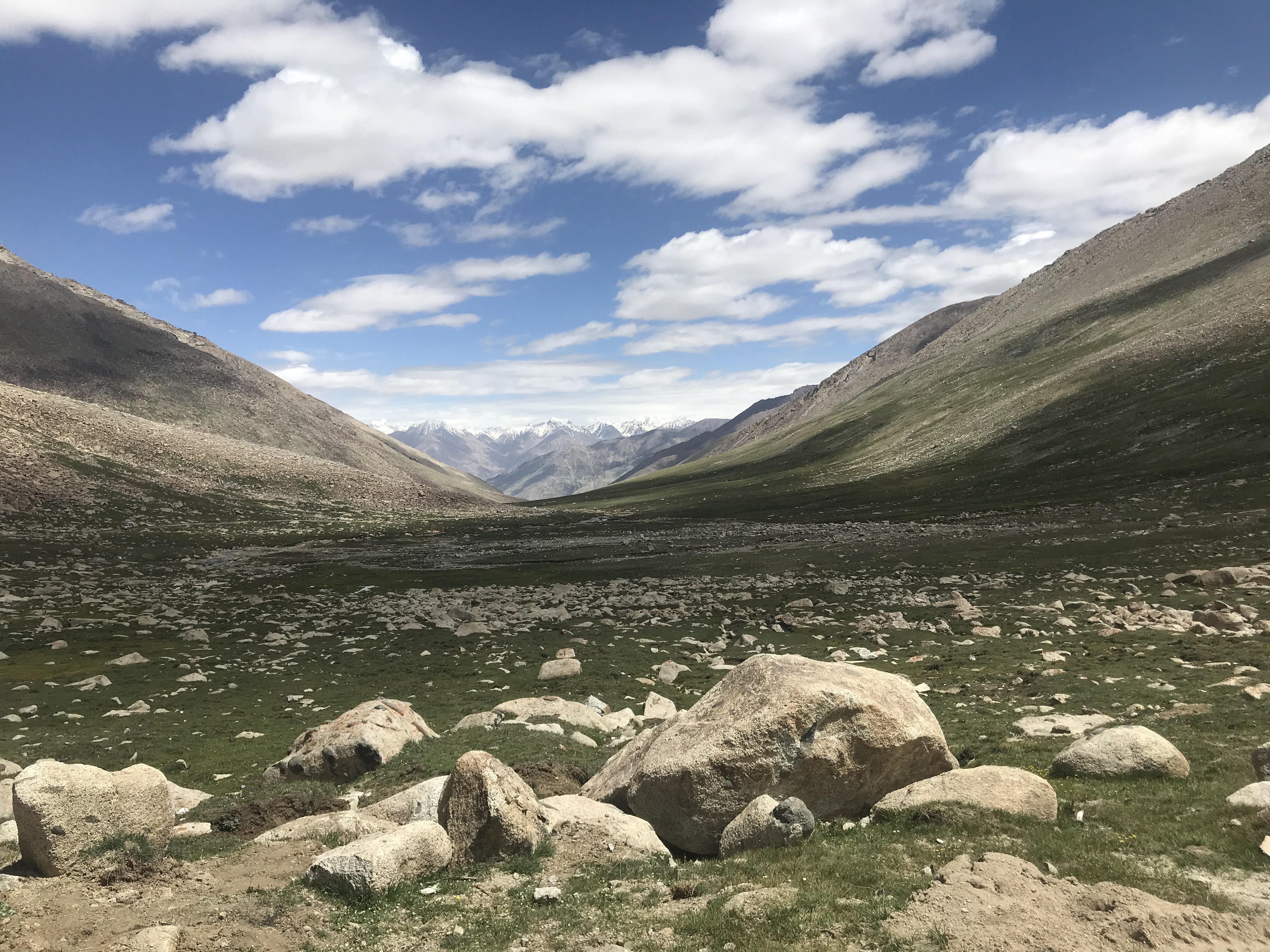


As this is a longer route, it took almost 13+ hours to reach Pangong. On the way, we stopped at Chang La pass & Tangste for tea. On the way, we saw a lot of movement of military vehicles which is understandable as the India & China border is very near. We talked to a couple of military personnel about life in Tangste. As per them, almost 8 months in a year, the area is very cold & full of snow. They have to eat ready-made food. Only for 4 months, they get a hot cooked meal. We gave some of our Maharashtrian delicacy – Puran Poli to them.
We reached Pangong around 9 PM. We just had a quick dinner and went to sleep in our tents. Throughout the night, it was raining heavily but fortunately, it stopped in the early morning.
Our eyes opened to a very beautiful morning. The sky was clear and blue. We were surrounded by snow-clad mountains and we could see a blue watered Pangong Lake in front of us. We could imagine how it is extremely difficult for military personnel to patrol the borders 24×7 and all 365 days.


We started back for Leh around 10 AM and reached Leh around 6 PM via Chang La pass.
